
Winds and tides in Bas-St-Laurent
I camp under one of the most beautiful skies in the world, I wash myself in a river and I learn the history of our border with the Americans, all embellished with the pleasant salty and fir scents of this superb region.
This article first appeared in the excellent magazine Vélo Mag, July 2021 edition.
Our four-day itinerary begins in the charming town of Trois-Pistoles, which is not so easy to leave. My girlfriend and I are received at Jean-Sébastien Delorme and Chantal Gailloux. Originally from Eastern Ontario and the Outaouais respectively, the two landed here for a summer five years ago… and never left. “We fell in love with the sea air, the wide open spaces and the job opportunities,” the couple, who created their own work in the agri-food sector, explains to me. "But our main crush has been for the exceptional people here." I understand them. Talking to everyone, our departure is constantly shifted by at least half a day.
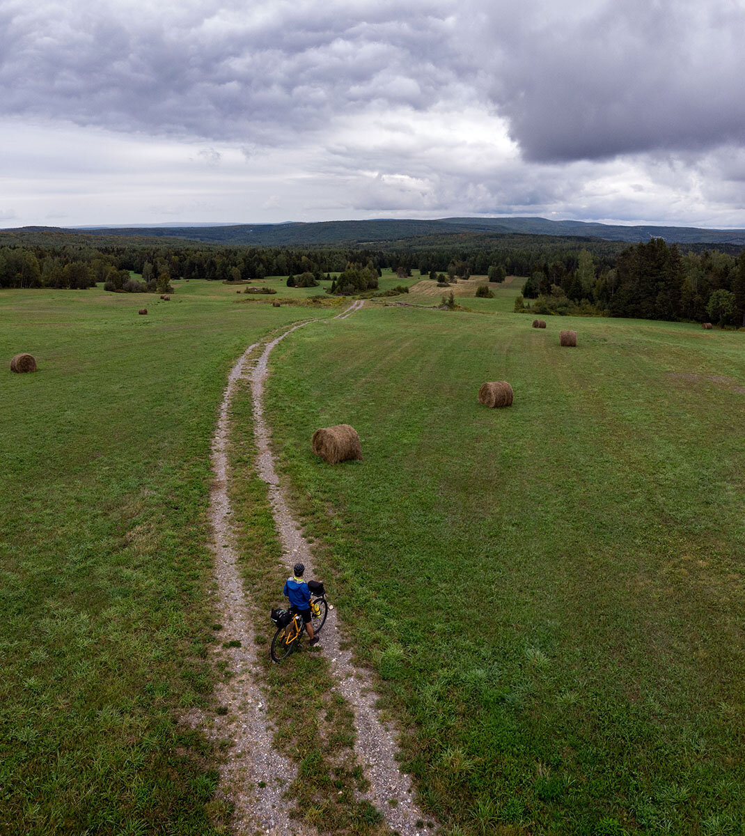
When we finally start to pedal west, we opt for the wide shoulder of Route 132, a little longer than the gravel bike path that passes on the other side of Highway 20. We pass through the village de L'Isle-Verte and turn off towards chemin de la Rivière-des-Vases, in the direction of the Kiskotuk coastal park. Any traffic noise fades away immediately. The park extends over almost 30 km of coastline, where the river meets hills, marshes and islands. We set up our camp there under an explosion of colors offered by a magnificent sunset slowly replaced by the Milky Way.
Break after our departure from Trois-Pistoles.
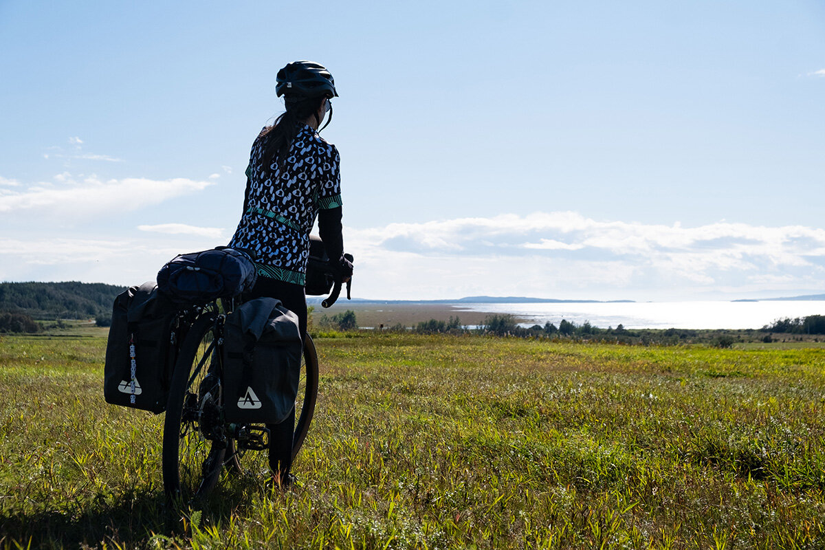
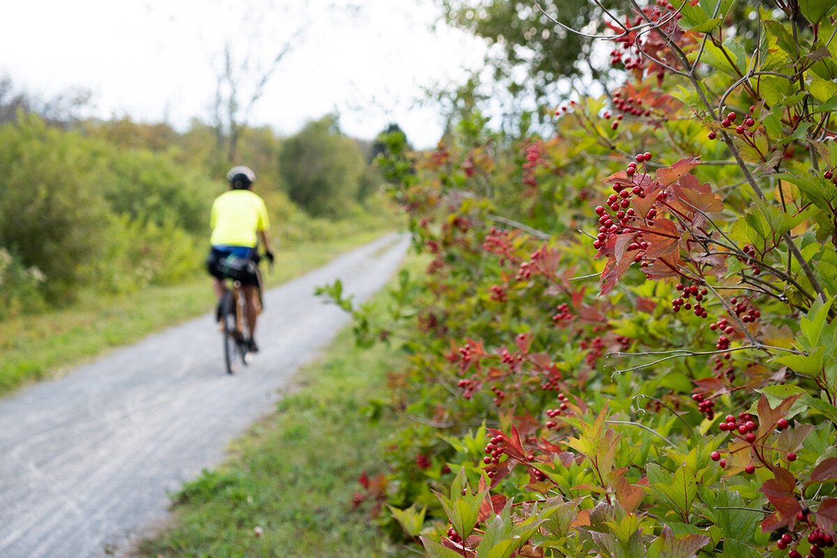
The pretty river view along Route 132.
Little Temis
At Kiskotuk Park and then again along the 132, we come across several interesting signs explaining the history of the place. Cacouna takes its name from Kakoua-nak, meaning in different Amerindian languages "the place where the porcupine lives". And L'Anse-au-Persil refers to sea parsley, synonymous with Scottish lovage, which grows in abundance on the shore.
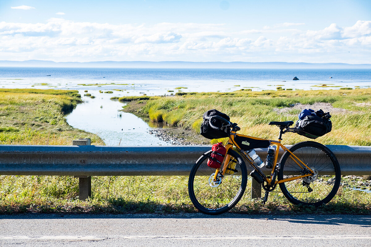
Through Kiskotuk Coastal Park.
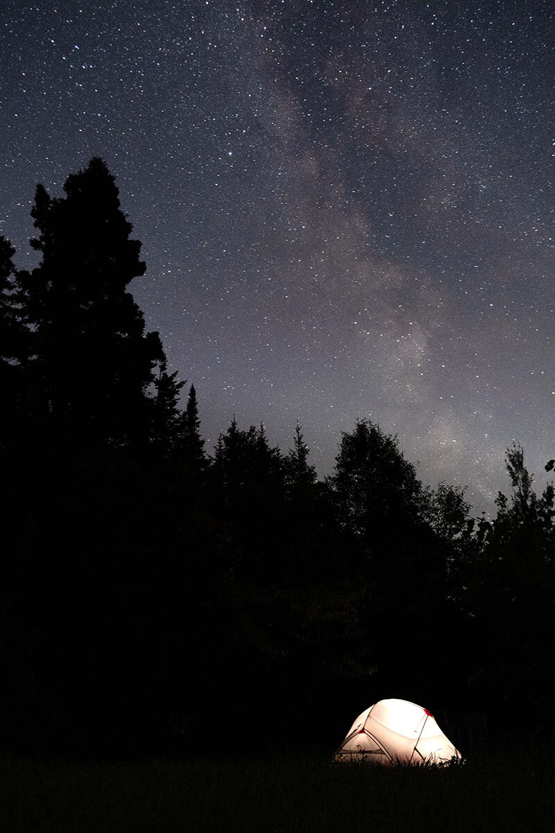
Under the stars at Kiskotuk Coastal Park.
From one information to another, we arrive at Rivière-du-Loup, where we take the Petit Témis cycle path, despite the weather warnings from a colorful passerby who warns us to "hang on because it's windy tabarnik behind Premier Tech! ". He wasn't wrong; I pass close to smashing my drone on the roof of the Saint-François-Xavier church.
134 km long, the Petit Témis connects Quebec to New Brunswick by a gravel track, formerly a railway line. We slowly climb this section of la Route verte to Saint-Honoré, at just over 400 m altitude. But we forget the effort, absorbed as we are by the lakes buffeted by the wind, by the little chipmunk leaping across the track and by the wild beauty of the forest.
In addition to numerous stops and terraces, the track has three wild campsites with wooden platforms. We set up our tent at the one on the Rivière des Roches, located in Saint-Modeste, and I take advantage of the eponymous river to make an ice cream sauce before falling asleep in perfect darkness and majestic silence.
The Petit Témis rural track.
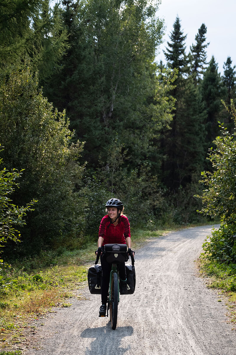
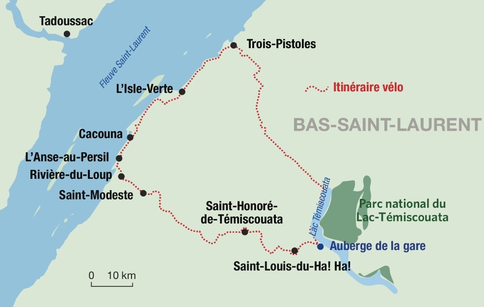
Gabrielle likes to ride in nature.
Aaahh! Aaahh!
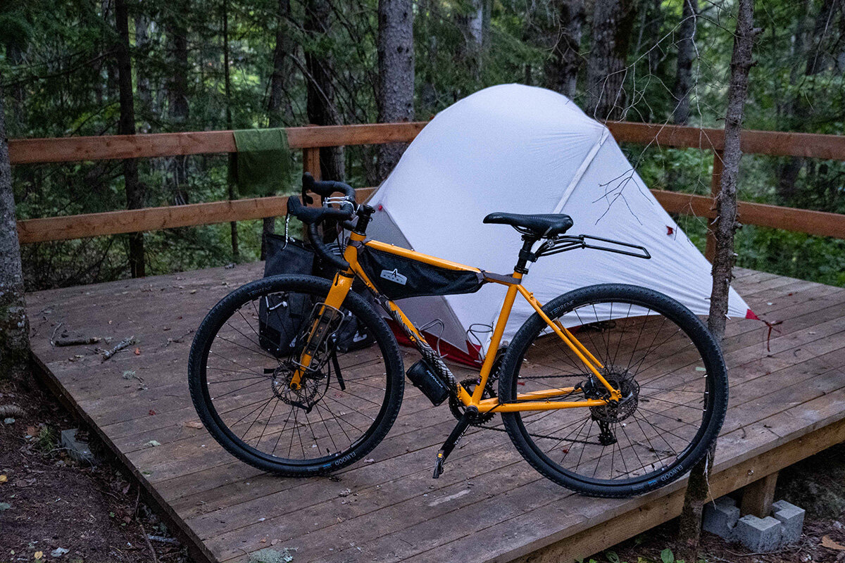
Camping platform on the edge of the Petit Témis cycle path.
The track would be a little soft for the narrow tires of a road bike, but with our gravel bikes we quickly arrived at Saint-Louis-du-Ha! Ha! In front of the church square, we meet the charming Dove, busy removing weeds on a voluntary basis. "We must take care of our built heritage," she tells us, despairing a little about the reduction in the number of priests and flocks. “People no longer want to work for nothing. Me, I'm used to it”, tells us the one who has taken care of her parents and her brother who lives with her all her life. “He is autistic and mute; it does not make for big conversations, ”she jokes a little.
She then sheds light on the name of her village by turning to the surrounding plain. “Aaahh! Aaahh! how beautiful it is!" his ancestors would have exclaimed.
Another possible explanation would come from the old French word “haha”, referring to an obstacle, in this case a bay of Lake Témiscouata which forced the canoeists to make an 80 km portage.
One thing is certain, the astonishing punctuation in the name of the small town earned it an entry in the Guinness Book of Records in 2018 as the only municipality in the world with so many exclamation marks.
The stories of Témiscouata-sur-le-Lac
We then had a long chat with archivist Léa Laplante-Simard on the shores of Grand Lac Témiscouata. "The set of individual stories helps us build our collective history," says the one who inspects each sheet of archives she receives.
We are told the fascinating story of Gray Owl, this British born Archibald Belaney who had passed himself off as a Native American for most of his life in America. An explorer turned anthropologist, he settled in Cabano for a few years with his Mohawk wife and their two beavers, and wrote part of his work there.
It was only after his death that his true identity was revealed. "The population of the time found it funny, too, an Amerindian who was so good at the piano," sums up the archivist, laughing.
The next day, before leaving, we stop for another trip back in time, at Fort Ingall. In this place where the fortifications have been rebuilt, an exhibition tells us about the lives of the soldiers and, above all, the story of an ill-defined border between the British and the Americans in the once very sparsely populated forests of this region of Lower Canada. This cold war which lasted three years was finally settled by a treaty, without there being a single battle.
On the way back to Trois-Pistoles, around Saint-Cyprien.
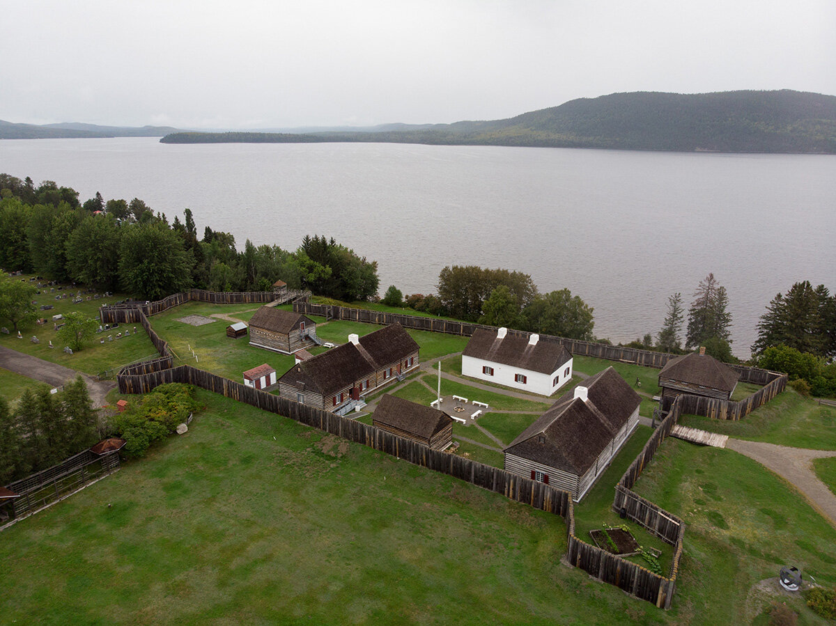
Fort Ingall, in Témiscouata-sur-le-Lac.
All in soft colors
By route 232, we then skirt Lake Témiscouata to the corner of route 293, which we take. We gradually leave the forests going up to agricultural land. Passing through Saint-Cyprien, Saint-Clément and Saint-Jean-de-Dieu, we are carried by the wind towards Trois-Pistoles, where we find the river at the end of the landscape.
The colors are soft everywhere on the horizon, on the yellowed fields as in the pastel sky. Again, for a few days, I got to know better the landscapes, the welcoming people and the many stories of my own country.
The soft colors of Bas-St-Laurent, off Trois-Pistoles.
Landmarks
Itinerary: a loop of 185 km. See on Google Maps.
3 or 4 days. Trois-Pistoles - Rivières-du-Loup - Cabano (Témiscouata-sur-le-Lac) - Trois-Pistoles.
MY GOOD ADDRESSES
- For a kayak or SUP outing on the river, go to the caravan of the Coop Island Kayaks, at the end of the quay in Trois-Pistoles.
- Visit the historic site of Fort Ingall in Témiscouata-sur-le-Lac to learn more about the border conflict between the British and the Americans around 1839.
- We enter the Origin bakery, Trois-Pistoles, and Cafe de la Brûlerie, in Rivière-du-Loup, to get supplies and feel welcome.
- It's at thestation hostel, in Témiscouata-sur-le-Lac, to put down your bags to enjoy the meals, the pretty rooms and several artefacts dating back to the beginnings of the colonization of the region.
- On summer Sundays, from 10 a.m. to 15 p.m., we stop at Basque public market, in Trois-Pistoles, for music and meeting local producers.
- To sleep peacefully, it is possible to reserve your wild camping spot on one of the platforms bordering the Petit Témis bike path.
The good world of la Route verte is a 10-episode web series, which I produced for Vélo Québec. All episodes are available for free here.


Impossible to miss the vast Gatineau Park which, on the map of the Outaouais, expands like smoke from a campfire. By combining it with the cycle paths of la Route verte, I was drawn to its many trails, lakes, and stretches of forest that seemed to invite me personally.